
North Myrtle Beach fishing reports are the day-to-day record of tide stages, water temperature, bait movement, and which species are biting along the Grand Strand’s creeks, nearshore waters, and offshore wrecks. Reading them well, rather than skimming the headline catch photo, is what separates a lucky trip from a planned one. This guide breaks down what these reports actually mean, how local captains use them, and how you can use the same information to choose the right charter before you ever step on the dock.
Quick answer: A fishing report tells you what conditions and species have looked like recently, not what will definitely happen on your trip. Use it to understand patterns, then let a licensed captain adjust the plan on the day you fish.
What Are North Myrtle Beach Fishing Reports?
North Myrtle Beach fishing reports are short, regularly updated summaries describing water conditions and recent catches around Little River, Cherry Grove, Murrells Inlet, and the surrounding Grand Strand. They typically note water temperature, tide direction, wind, and which species, such as red drum or flounder, have been active inshore, nearshore, or offshore.
In addition to catch notes, a useful report explains why fish were biting in a certain area. For example, a report might mention that an incoming tide pushed bait into a creek mouth, which then drew in predator fish. That context matters more than the catch count alone, because it helps predict what might happen on a different day with similar conditions.
Why Local Fishing Conditions Change So Often
Coastal conditions along the Carolina coast shift quickly because tides, wind, and water temperature all interact at once. A warm, calm week can turn into choppy, cooler water within days if a front moves through, and that single change can push fish away from their previous feeding spots.
As a result, a report from two weeks ago may no longer describe current conditions. Specifically, spring and fall tend to show the fastest swings, since migrating species move through the area as water temperature rises or falls. Summer and winter, by contrast, usually hold steadier patterns for longer stretches, which makes reports from those seasons more reliable for a few extra days.
How Captains Use Tide and Water Temperature Data
Licensed captains treat tide charts and water temperature as the foundation of a daily trip plan, not just background detail. According to the National Oceanic and Atmospheric Administration, tidal ranges along the South Carolina coast typically run several feet between high and low water, and that swing directly affects how bait and gamefish move through creeks and inlets.
For instance, an outgoing tide often pulls baitfish out of marsh grass and into creek channels, which concentrates feeding activity in predictable spots. Meanwhile, water temperature influences which species are comfortable and actively feeding at all. Consequently, a report that pairs tide stage with temperature gives captains a much clearer starting point than catch counts alone.
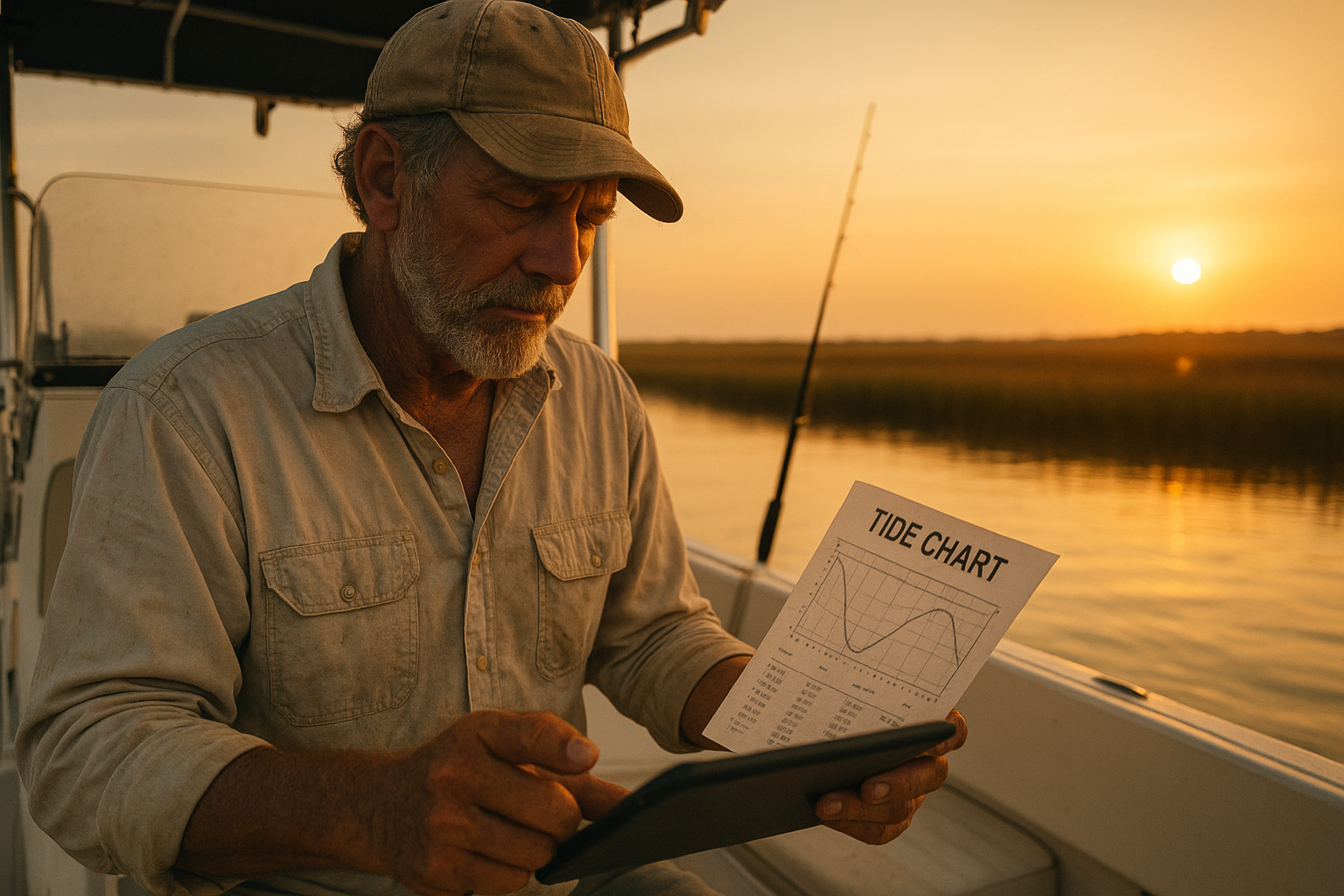
Reading North Myrtle Beach fishing reports alongside tide charts helps captains plan each trip with precision.
Reading Reports for Inshore, Nearshore, and Offshore Trips
Not every report applies to every type of trip, so it helps to know which section matters for your plans. Inshore and backwater reports cover protected creeks, marshes, and the Intracoastal Waterway, where species like red drum, spotted seatrout, and flounder are common targets.
Nearshore reports, on the other hand, focus on waters just off the beach, often involving Spanish mackerel or bluefish. Offshore and Gulf Stream reports describe deeper wrecks, reefs, and current edges, which require a larger boat and longer run time. If you’re deciding between a calm family-friendly trip and a more adventurous offshore day, comparing these report sections side by side is a practical starting point. Our own recent inshore fishing report is a good example of how creek and marsh conditions get documented week to week.
Seasonal Fishing Patterns Along the Grand Strand
Seasonal fishing patterns shape almost every report you’ll read near North Myrtle Beach. In spring, warming water draws red drum and flounder back into the shallows, while summer typically brings steadier inshore action along with more consistent nearshore and offshore opportunities.
Fall often produces some of the most active fishing of the year, as baitfish migrations pull larger predators closer to the coast. Winter, in contrast, tends to slow the inshore bite but can still offer productive days depending on water temperature. The South Carolina Department of Natural Resources tracks many of these seasonal movements for species like red drum, which is part of why local reports reference the same patterns year after year. For a closer look at how a specific month played out, our August 2026 fishing report walks through that season’s conditions in detail.
How to Use a Fishing Report Before Booking a Charter
Turning a report into a smart booking decision is simpler than it looks once you follow a consistent process. Here is a straightforward sequence to follow before you reserve a trip.
- Check the most recent report date. Conditions can shift noticeably within one to two weeks, so an older report may no longer apply.
- Note the water temperature and tide stage. These two details explain most of the behavior described in any report you read.
- Match the species mentioned to a trip type. Compare the species named against inshore, nearshore, or offshore descriptions to find the best fit for your group.
- Confirm current conditions with the charter team. A quick call or text can verify whether a published report still reflects what’s happening today.
- Book the private charter that fits the pattern. Once the trip type matches current conditions, reserve it through the online booking system so your captain can plan around your group.
Our full archive of North Myrtle Beach fishing reports makes it easy to compare several weeks at once before you commit to a date.
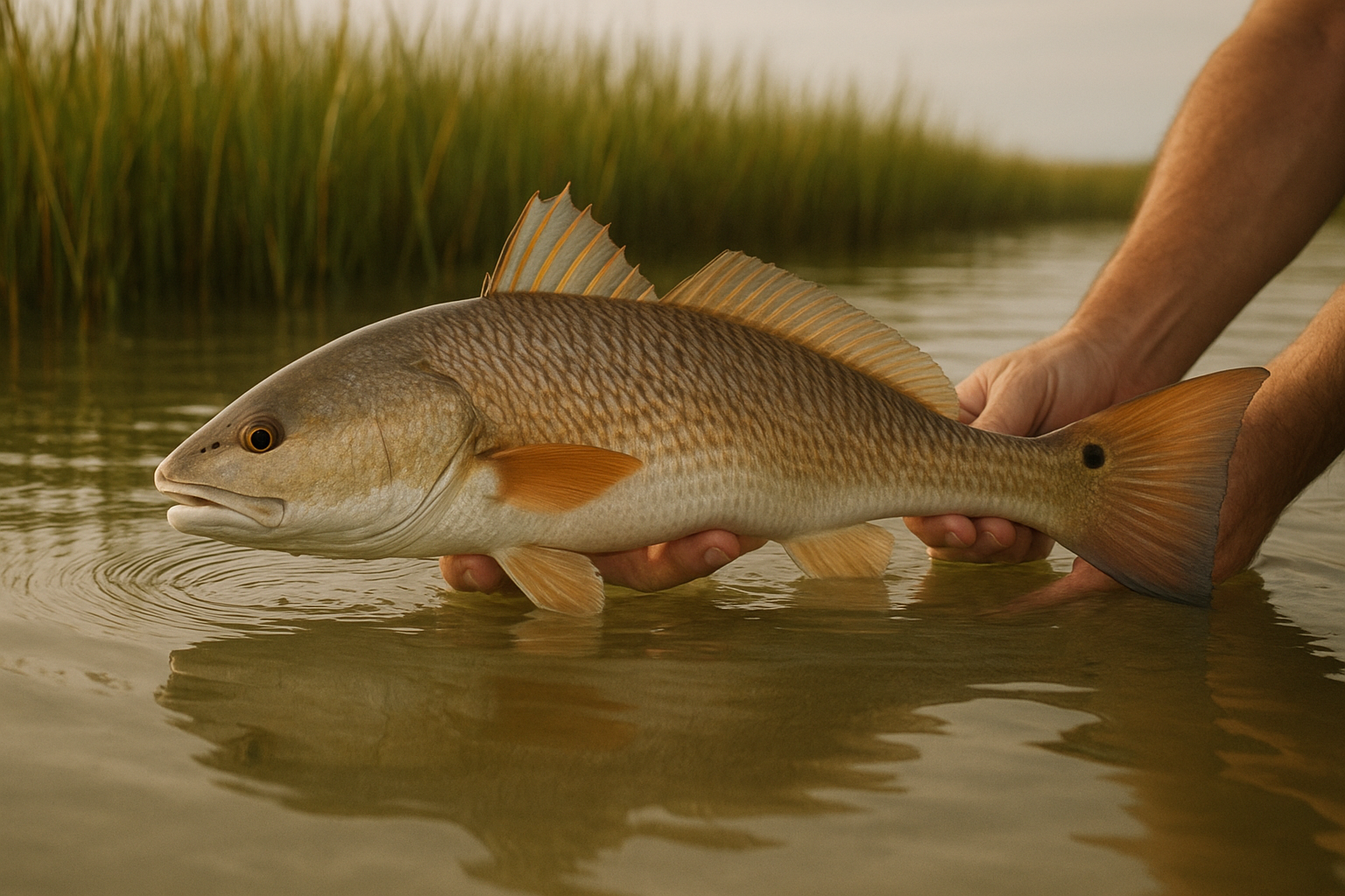
Species like red drum show up repeatedly in inshore sections of local fishing reports.
Common Mistakes Anglers Make When Reading Reports
One frequent mistake is treating a report from several weeks ago as if it still describes today’s water. Even a single cold front or wind shift can change tide behavior and move fish entirely out of a previously productive spot.
Another common error is focusing only on the catch photo instead of the conditions behind it. Similarly, some anglers assume every report applies to every trip type, when in reality inshore, nearshore, and offshore patterns often move independently of each other. Finally, skipping a quick confirmation call before booking can lead to mismatched expectations, especially for guests hoping for a very specific species or location. For a broader view of how patterns have shifted across multiple weeks, our follow-up fishing report and our earlier seasonal report are worth comparing side by side.
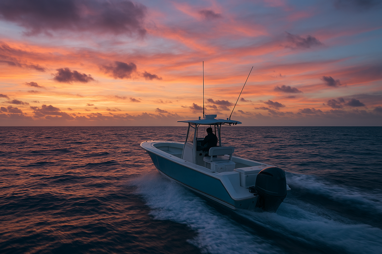
Offshore and Gulf Stream sections of a fishing report call for a different trip plan than inshore creeks.
Frequently Asked Questions
What are North Myrtle Beach fishing reports?
North Myrtle Beach fishing reports are updates describing recent tide stages, water temperature, bait activity, and biting species inshore, nearshore, and offshore along the Grand Strand. Captains use them to decide where to fish on a given day.
How often do local fishing reports change?
Conditions can shift within a single week because of tide cycles, wind direction, and water temperature swings. A report from early in the month may not match conditions two weeks later.
Why do tides matter so much in a fishing report?
Tides move bait fish and push predator species into feeding positions near creek mouths, jetties, and inlets. Reports that note tide stage help explain why a spot produced fish one day and not the next.
What is the difference between inshore and offshore fishing reports?
Inshore reports focus on backwater creeks, marshes, and the Intracoastal Waterway, while offshore reports cover deeper wrecks, reefs, and Gulf Stream conditions. Each requires different gear, timing, and boat types.
Can beginners understand a fishing report?
Yes, most reports use plain terms like water temperature, tide direction, and target species. A licensed captain can also translate the details into a specific trip plan for your group.
Do fishing reports guarantee a catch?
No, fishing reports describe recent patterns and conditions, not guarantees. Fish behavior can change quickly, so captains adjust the plan on the day of the trip.
How do water temperature readings affect species choice?
Many inshore species, including red drum and spotted seatrout, become more active within specific temperature ranges. A report noting a warming or cooling trend helps predict which species are more likely feeding.
What time of year do North Myrtle Beach fishing reports change the most?
Spring and fall tend to show the biggest shifts as water temperature changes quickly and species migrate through the area. Summer and winter conditions are usually more stable for longer stretches.
How much does a private charter cost compared to reading a report alone?
Reports are free to read, but they cannot replace a licensed captain who adjusts location and technique in real time. Private charter pricing varies by trip length, boat, and group size, and is confirmed during booking.
What is a common mistake anglers make when using fishing reports?
A common mistake is treating an old report as current, especially after a wind shift or a cold front. Reports should be checked close to your trip date, not weeks in advance.
How long should I review a fishing report before booking?
A quick ten-minute review of recent reports and tide charts is usually enough to understand current patterns. Calling or texting the charter team can confirm whether those patterns still apply.
Do offshore and Gulf Stream reports require more experience to read?
Offshore and Gulf Stream reports include terms like current edges, water color, and bait balls, which take more practice to interpret. Most guests rely on the captain to translate these details into a trip plan.
Can fishing reports help me choose between inshore and nearshore trips?
Yes, a report describing calm backwater conditions points toward an inshore trip, while stronger bait activity near the surf often favors nearshore fishing. Comparing recent reports helps match the trip to current conditions.
Where can I find updated North Myrtle Beach fishing reports?
Local charter companies, including North Myrtle Beach Fishing Charters, publish regular written reports covering recent trips and conditions. Checking these alongside NOAA tide data gives a fuller picture before booking. You can find more on our main charter site.
Should I still book a charter if the latest report shows slow fishing?
A slower report does not rule out a good trip, since captains adjust location, bait, and technique daily. Licensed captains often find productive water even when general conditions look challenging.
Final Thoughts on Reading Local Fishing Reports
In the end, North Myrtle Beach fishing reports work best as a starting point rather than a final answer. They explain recent tide behavior, water temperature trends, and species activity, which gives you a reasonable sense of what to expect before booking. However, conditions on the water can still shift between the time a report is published and the day you fish.
Therefore, the most reliable approach pairs recent reports with a conversation with a licensed captain who adjusts the plan in real time. Whether you’re weighing an inshore trip through quiet backwater creeks or an offshore run toward the Gulf Stream, reading these reports carefully, and confirming details before your trip, puts you in a far better position to enjoy a productive day on the water near North Myrtle Beach, Little River, Murrells Inlet, and the surrounding Grand Strand.